![]()
United
Nations
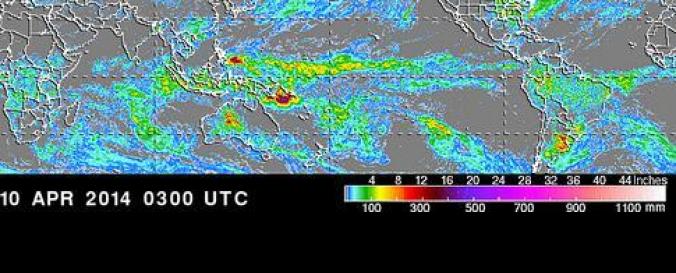
Rainfall Estimation (NASA-TRMM)
| Data provided by: | National Aeronautics and Space Administration (NASA) |
| Data accessibility: | visualization of data (e.g. web GIS or real time monitoring) |
| Link to the data: | |
| Data type: | hazard specific data |
| Hazard: | Drought, Mass Movement, Flood, Severe Storm |
| Disaster cycle phase: | Disaster Risk Management, Response, Recovery |
| Satellites and Sensors: | TRMM (PR), TRMM (TMI) |
| Spatial coverage: | Global |
| Spatial resolution: | 4000.00 |
| Temporal coverage: | Archive, Forecasted, Near-real time |
| Content dates: | 2002-2016 |
| Technical Specifications: | |
| Costs: | free |
| Contact: | Contact List |
| Tutorials on the use of data: | Data recipies, TRMM and Other Data Precipitation Data Set Documentation, Visualization Help, Senior Review Proposal 2007, Tropical Storm Position Page |
| Restrictions/ Citation of the dataset: |
Provider
![]()