![]()
United
Nations
Drought Index Map for Vegetation-US Only (VegDRI - USGS)
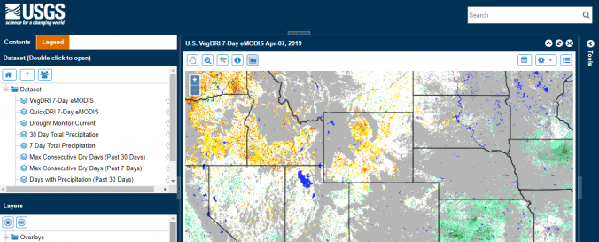
| Data provided by: | United States Geological Survey (USGS) |
| Data accessibility: | export map, web processing/cloud computing |
| File type: | webmap |
| Data type: | hazard specific data, land use, land cover data |
| Hazard: | Drought |
| Disaster cycle phase: | Disaster Risk Management |
| Space-based Information: | Ground-Based Information |
| Spatial coverage: | United States of America |
| Spatial resolution: | 250.00 |
| Temporal coverage: | Near-real time |
| Costs: | free |
| Tutorials on the use of data: | User services |
| Restrictions/ Citation of the dataset: | Policies and Important Notices
|
Provider
![]()