![]()
United
Nations
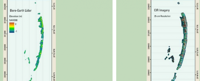
Oil Spill Response (USGS)
| Data provided by: | United States Geological Survey (USGS) |
| Data accessibility: | export data, export map |
| Link to the data: | |
| Data type: | hazard specific data |
| Hazard: | Pollution |
| Disaster cycle phase: | Disaster Risk Management, Response, Recovery |
| Space-based Information: | Airborne lidar sensors |
| Spatial coverage: | Latin America and the Caribbean, Mexico, United States of America |
| Spatial resolution: | 1.00 |
| Temporal coverage: | Archive |
| Costs: | free |
| Contact: | Contact USGS |
| Restrictions/ Citation of the dataset: |
Provider
![]()