Skip to main content
English
Español
Français
United
Nations
Office for Outer Space Affairs
UN-SPIDER Knowledge Portal
Rechercher
Accueil
À propos
Qu'est-ce que l'ONU-SPIDER?
À propos d’UNOOSA
Publications
Offres d'emploi
Rencontrez l'équipe
Contact
Applications spatiales
Technologie satellitaire
Mécanismes d’urgence
Recovery Mechanisms
Réseau international d'alerte aux astéroïdes
Space Mission Planning Advisory Group
Initiative internationale sur la météorologie spatiale
Les technologies spatiales à l'ONU
Comptes-rendus d'utilisateurs
Liens & ressources
Application de données du mois
Disaster Recovery
Sources de données
SIG et logiciels de télédétection
Online Learning Resources
Institutions
Risques & catastrophes
Prévention des risques de catastrophe
Systèmes d'alerte précoce
Gestion des catastrophes et des interventions d'urgence
Aléas naturels
Cadre d'action de Sendai
L'ONU et la prévention des risques de catastrophe
L'ONU et les alertes précoces
L'ONU et la gestion des catastrophes
Appui technique
Missions Conseil
Appui d’urgence
Appui à distance
Pratiques recommandées
Activités de formation
Utilisations pratiques
Réseaux
Bureaux régionaux d’appui
GP-STAR
MHEWS
IWG-SEM
Projets
SPEAR
SEWS-D
EvIDENz
Flood GUIDE
Actualités
Actualités
Événements
Événements passés
Breadcrumb
Home
Space-based Measurement, Mapping, And Modeling of Surface Water (DFO)
Space-based Measurement, Mapping, and Modeling of Surface Water (DFO)
Space-based Measurement, Mapping, and Modeling of Surface Water (DFO)
Data provided by:
Dartmouth Flood Observatory (DFO)
Data accessibility:
export data, export map, statistical data (e.g. graphs), visualization of data (e.g. web GIS or real time monitoring)
Link to the data:
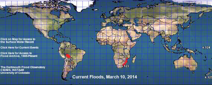
Access to the Surface Water Record (Click on the map)
Current Events List
Access to Flood Archives (Click on the related link on the map)
UK Flood Mapping
Bolivia Flood Mapping
River Watch Regional Display for Latin America
Other Flood Detection tools
Global and Regional Analyses
File type:
GeoPDF
,
GeoTIFF
,
jpeg
,
jpeg
,
shp
,
shp
,
shp
Data type:
hazard specific data
Hazard:
Flood
,
Severe Storm
Disaster cycle phase:
Disaster Risk Management, Response, Recovery
Space-based Information:
MODIS, LANDSAT 8, Sentinel 1 - SAR Dataset
Spatial coverage:
Global, Latin America and the Caribbean, United States of America
Spatial resolution:
10.00
Content dates:
1985-present
Technical Specifications:
Orbital Microwave Measurement of River Discharge
Technical Notes for The Surface Water Record
Costs:
free
Contact:
Staff
Tutorials on the use of data:
Record Guide (Check for the related PPT link on Technical Notes for The Surface…
Restrictions/ Citation of the dataset:
Publications
Provider