| Data accessibility: | visualization of data (e.g. web GIS or real time monitoring), web processing/cloud computing |
| Data type: | baseline data, elevation, hazard specific data, land use, land cover data |
| Disaster cycle phase: | Disaster Risk Management |
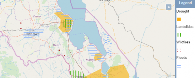
| Space-based Information: | GIS Malawi is a webmapper which provides various vector and raster layers covering a broad range of topics including natural hazards. |
| Spatial coverage: | Malawi |
| Temporal coverage: | Archive |
| Costs: | free |