![]()
United
Nations
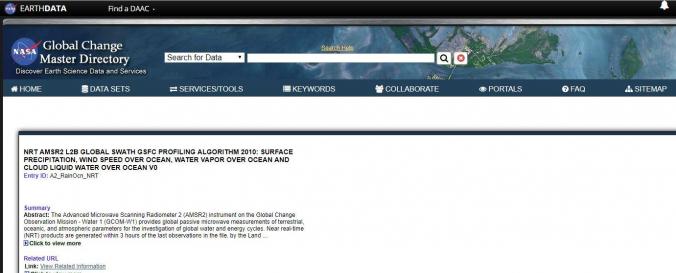
Advanced Microwave Scanning Radiometer 2 (AMSR2 - NASA)
| Data provided by: | National Aeronautics and Space Administration (NASA) |
| Data accessibility: | visualization of data (e.g. web GIS or real time monitoring) |
| Link to the data: | |
| Data type: | baseline data |
| Space-based Information: | NRT AMSR2 products are generated within three hours of observation, using preliminary algorithms provided by the NASA-funded US AMSR2 Science Team, with JAXA NRT Level 1 R (L1R, resampled brightness temperatures) as input. NASA standard products are available from NASA's National Snow and Ice Data Center (NSIDC) Distributed Active Archive Center (DAAC). , . Once processed, near real-time AMSR2 data can be accessed through the LANCE AMSR2 Near Real-Time Products page on GHRC DAAC's website and will be available for viewing using NASA’s Worldview data visualization tool or any geographic information system (GIS) software capable of reading and visualizing data in HDF-EOS5 format. |
| Satellites and Sensors: | GCOM-W1 (AMSR2) |
| Spatial coverage: | Global |
| Spatial resolution: | ~62 x 35km depending on band |
| Temporal coverage: | Near-real time |
| Content dates: | 2012 to present available ~ 3 hours from observation |
| Technical Specifications: | |
| Costs: | free |
| Contact: | Contact |
| Tutorials on the use of data: | How to use cURL and Wget with Earthdata Login (URS) |
| Restrictions/ Citation of the dataset: |
Provider
![]()